
Getting started with a Digital Twin as a municipality? These are the 5 most important considerations.
More and more municipalities are facing complex spatial challenges, such as housing construction, climate adaptation, energy transition, mobility, and a healthy living environment. Precisely because these themes are strongly interconnected,
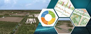
Data-driven greening in practice: pilot in Dronten
Together with the municipality of Dronten, CROW has developed a digital twin in a pilot project to gain a better understanding of greening: where is greening needed and where is
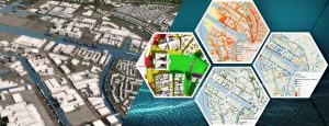
Weighing water interests: building with the water system
Over the next ten years, approximately 100,000 homes must be built annually in the Netherlands. More than ten percent of these will be located in the area covered by the Vallei en Veluwe Water Board.
The relevance of digital twins for municipal tasks
During Tygron’s Community of Practice Day, a special edition of the digital twin learning community was organized. A diverse group of professionals explored the question: how can we use digital twins to make urban challenges smarter, healthier, and more future-proof?
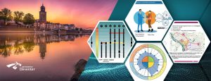
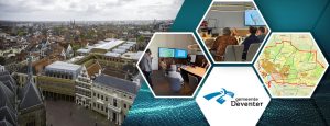
Control over growth in Deventer
Deventer is growing, and rapidly. Not only in terms of population, but also in terms of ambition. Margriet Achtereekte, Geovisie Leader for the municipality of Deventer, outlines the dilemma:
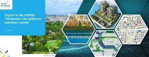
Tygron in practice: Aveco de Bondt on connecting policy and public space
The annual Tygron Community of Practice took place this year on November 11th. This meeting is by and for users: a moment where knowledge, experience, skills, applications, and the latest technological developments converge.
Deventer: Growth of the city while maintaining quality of life
Deventer faces a major housing challenge. Creating new homes within the existing city requires densification – but without sacrificing quality of life.
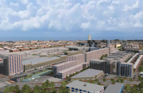
Digital Model of the municipality of Nieuwegein
The municipality of Nieuwegein is developing and implementing a digital model of the city. Nieuwegein is a growth center and must respond to the growing housing shortage. Therefore, in 2021,

Green impact projects with IDVerde and Tygron
IDVerde has developed a method to help developers, builders and municipalities to make their plans contribute to a healthier and more sustainable living environment: Green Impact Modelling. Various software applications,
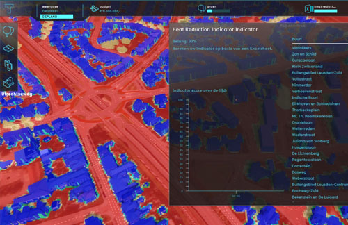
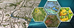
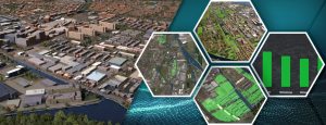
Green in and around the city: case study of the municipality of Dronten
The Province of Flevoland and the municipality of Dronten are working with Tygron on a digital twin that shows how green in and around the city contributes to a healthy
The integral future-oriented environmental vision of the municipality of Nieuwegein
During the Tygron Community of Practice, Anton Poelarends, strategist Space and Living and Esthy Meijer, junior project leader at the municipality of Nieuwegein, shared their insights on the role of
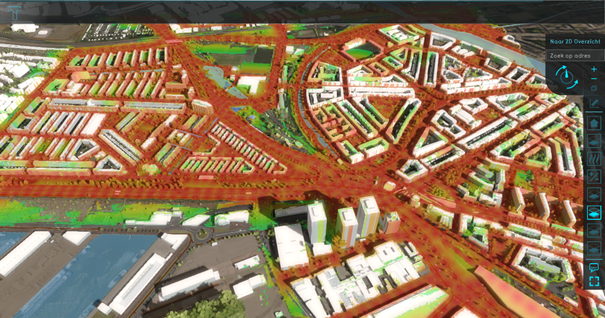
The Digital Twin Healthy Urban Area Development of the province of Utrecht: improved and available to everyone!
Urban planning is becoming increasingly complex due to the high demand for housing and the need for healthy urban living environments. In order to make informed decisions about this issue,
