NSL intensity factor for traffic is now adjustable for templates and new projects
The NSL (Nationaal Samenwerkingsprogramma Luchtkwaliteit) factor used for traffic calculations is by default set to 1.22 / 24 = 0.051. To accomodate better finetuning of the results, this value can […]
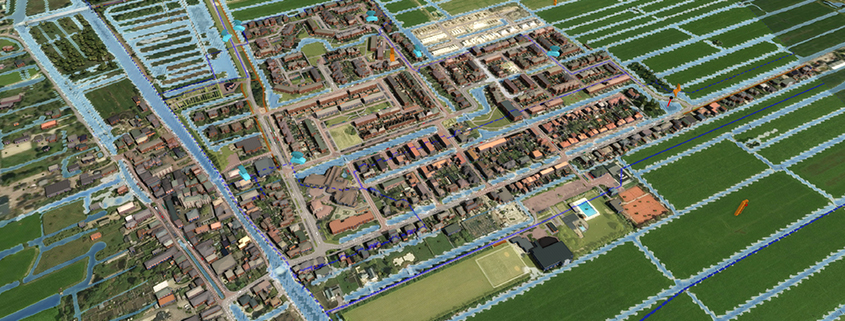
Added support for Micro Relief in the water calculations.
The Water attribute FLOW_THRESHOLD can now be used as an adjustable variable per building/ terrain type, to accomodate micro relief in the watercalculations. For context and more information see: CoP-sessie-Vallei-en-Veluwe.pdf […]
Easier handling of Overlays and Indicators
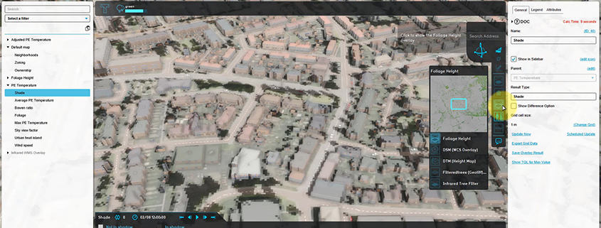
Being able to determine the sequence of indicators themselves. You can group indicators. Determine the order of overlays. Add custom icons to overlay menu. Textual representation of overlays for child […]
Prequel Water Overlays with themselves
You can now also prequel water overlays with themselves, and you also have a result type and prequel for the U and V (impulse). For example, you can now continue […]
Support for JSON in Tygron WFS services
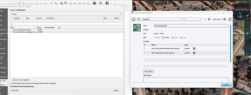
The Tygron WFS now also support the JSON output format, next to the default GML output format. This is very useful for compatibility with external WFS and web viewers. See […]
3Dtiles/GLTF
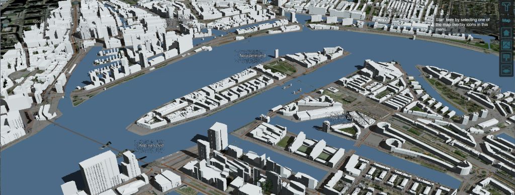
The possibility to export elements of Tygron projects and calculation results using GLTF 3d objects with 3D tiles. This creates the possibility to directly connect Tygron projects to applicatons such […]
DXF Export/import
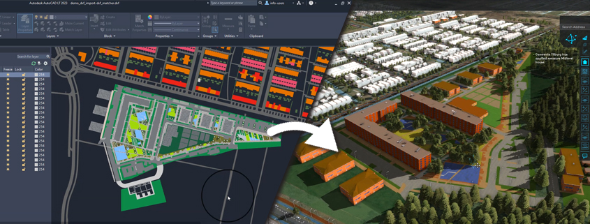
Our DXF exporter allows exporting polygons, colors and categories, including a geo-location. This simplifies your workflow for uploading urban plans in Tygron as follows: Build a new project in Tygron using […]
TQL Grid average, volume, min, max for buildings
For a vast amount of applications with the TQL I need a TQL queries to get volume, min, max, average etc on buildings. The query functions already exist but they […]
Python SDK
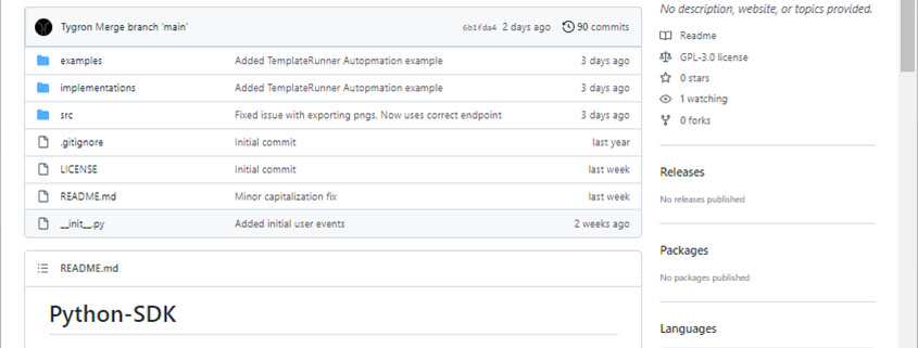
A library with python scripts to automate workflows that communicate with the Tygron Platform. An example: a script that automatically creates a project, performs calculations, saves and exports results and […]
Public Area on Geo Share (Public Share)
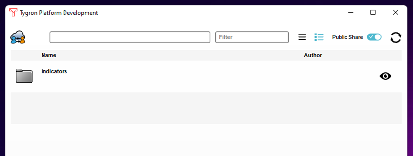
The Public Share, as part of the Geo Share, enables users to share files such as excel indicators with each other outside their respective domains. It is also possible to […]
