Open Calculator
Create your own calculations models with the Tygron Platform, using excel, queries, API, combo overlays, triggers and many more.
Create your own Raster Formula
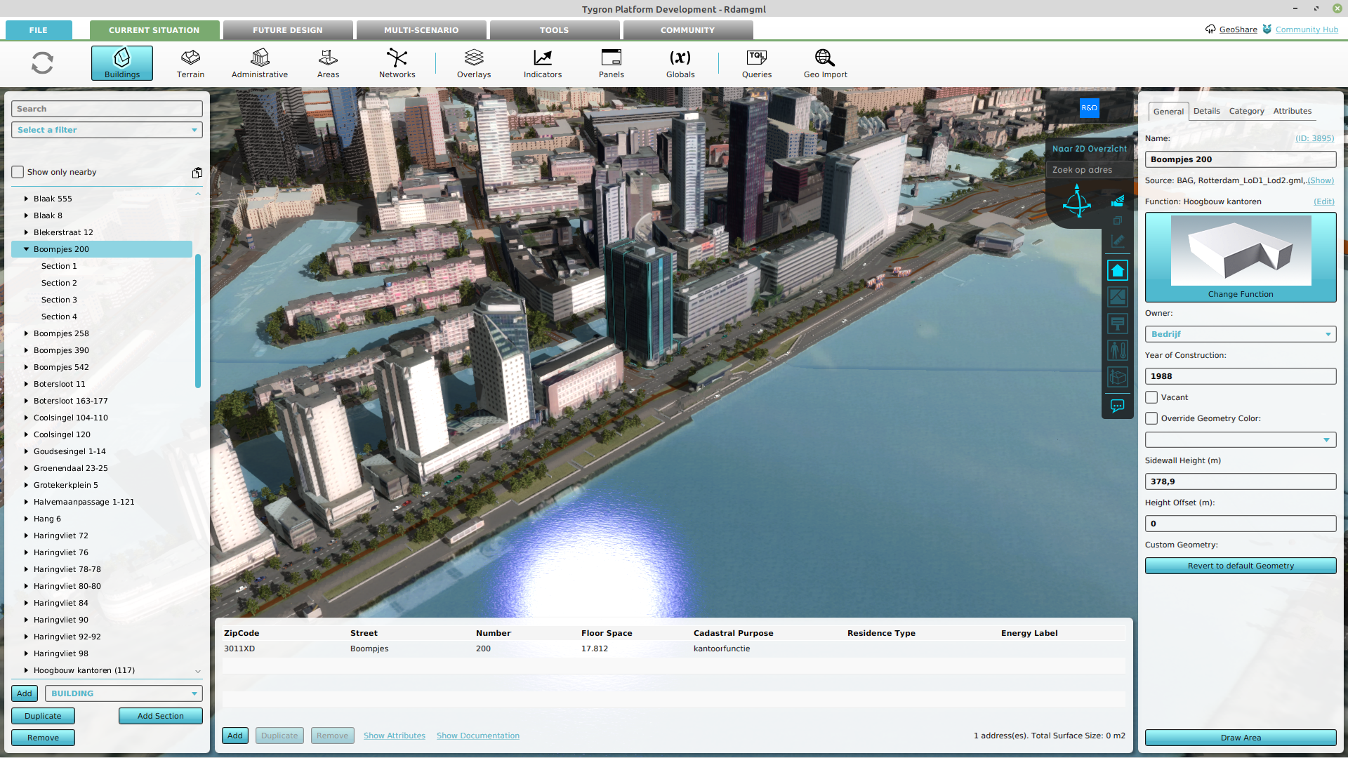
You can also create your own custom formula or use them to pre/post process from other simulations.
- Create your own formula and combine data using Combos.
- Convert polygon data to raster Averaging.
- Get raster data directly from WCS, WMS, or GeoTIFF.
- Calculate Travel Distances, Direct Distance or Line of Sight.
- Input data from one simulation into another using Prequels.
Data Queries
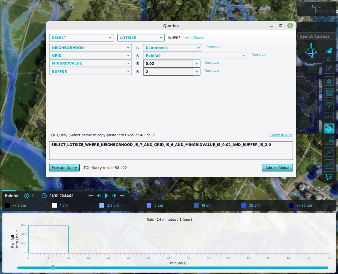
You can export all data from the Tygron Engine (often many GB’s). But sometimes it makes more sence to ask intelligent queries, e.g. “average water level per neigboorhood on evacuation roads”.
Therefor the Tygron Engine supports multiple ways:
Excel
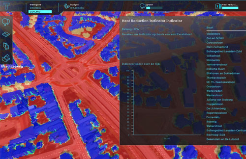
The TQL Queries mentioned before can also be used in combination with Excelsheets. This way you can combine the power of Excel with Spatial Data.
The results of the calculation can then be visualized in:
API Triggers
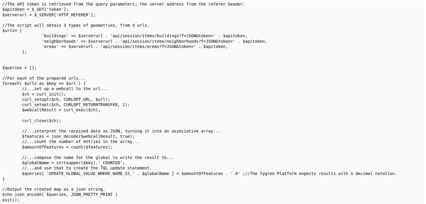
You can also add API triggers that connect to your own calculation models via Web calls during the Simulation.
Many More
Several other supported simulations included are:
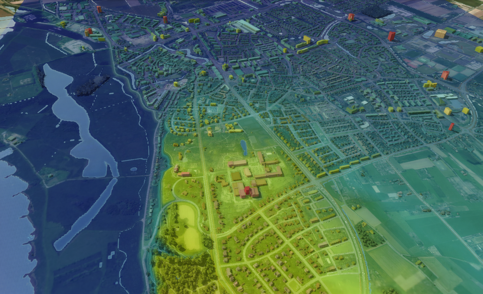
- On the fly Elevation Models, both Surface and Terrain models.
- Ownership as raster data.
- Underground collision detection for lines.
- Informative Overlays:
- Neighborhoods, Ownership and Zoning
- Traffic Density, Function and Attribute highlighting
- Underground, Network and Source overview

February 4: Webinar the Tygron Water Module; the era of Artificial Intelligence and the open calculator
The Tygron Platform is developing as an open calculator, which gives you the possibility to integrate data yourself, enrich data with Artificial Intelligence, and build your own simulations. On February

