The Tygron Engine performs analysis on voluminous, complex and dynamic data that allows you to retrieve, combine, interact with, explore, and visualize data from the various sources. Importing and exporting of this data is possible via the public open data standards listed below:
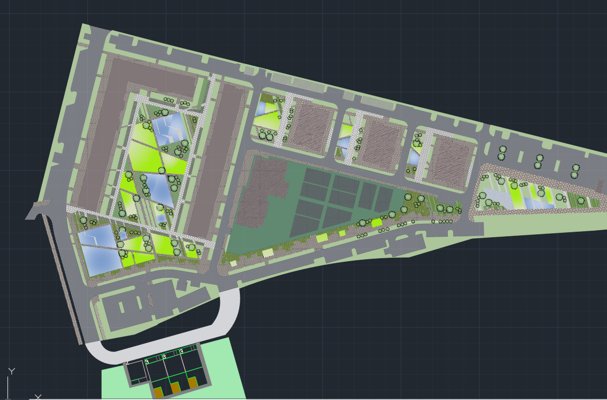
Vector data (lines, polygons, etc) can be used to load in data about e.g. buildings or forests. We supports multiple file and web service formats:
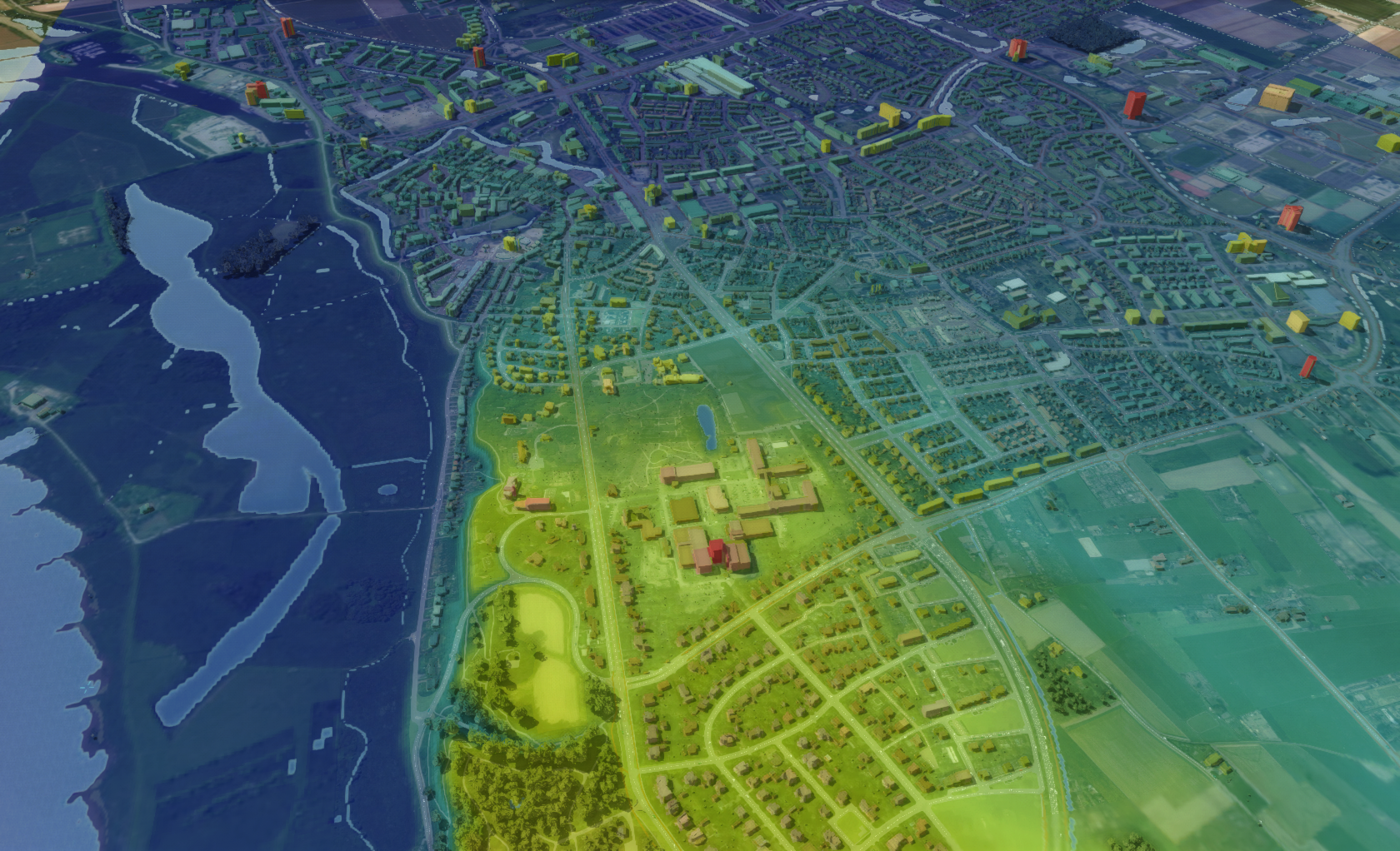
Raster data (XY-grid) can be used to load in an elevation map but is also used for e.g. waterlevels or heat temperature values per gridcell. Several raster formats are supported:
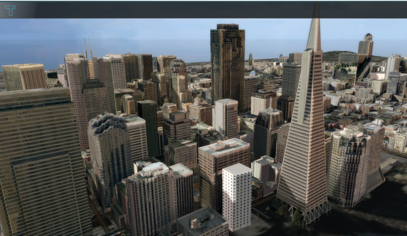
3D model (XYZ-coordinates and textures) can be used to improve the visulization and simulation of buildings. Several 3D model formats are supported as input:
The Tygron Platform supports the Open Neural Network Exchange (ONNX) format.
To create models, training data can be generated for platforms like PyTorch.
For additional details, please visit the AI Suite page.
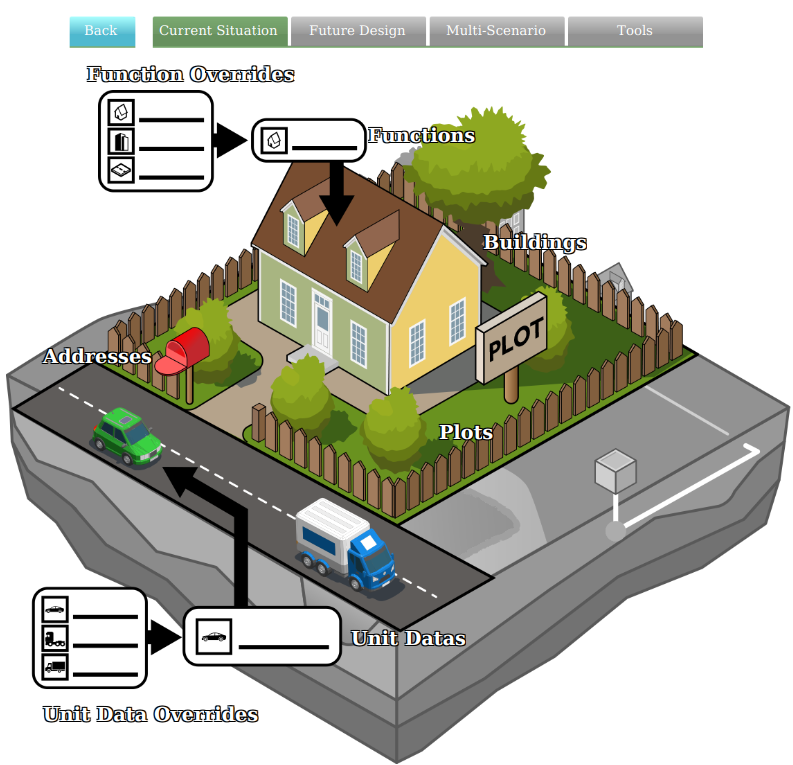
The data model represents all the elements that can be edited and simulated in the Tygron Engine. They can be manipulated in various ways, e.g. GIS, Tygron Client or API:
Current Situation: • Buildings • Terrains • Neighborhoods • Zoning • Plots • Areas • Networks • Overlays • Indicators • Panels • Globals
Future Design: • Actions • Measures • Parametric • Attribute Action • Levees • Upgrade Types • Events
Multi-Scenario • Scenarios • Stakeholders