

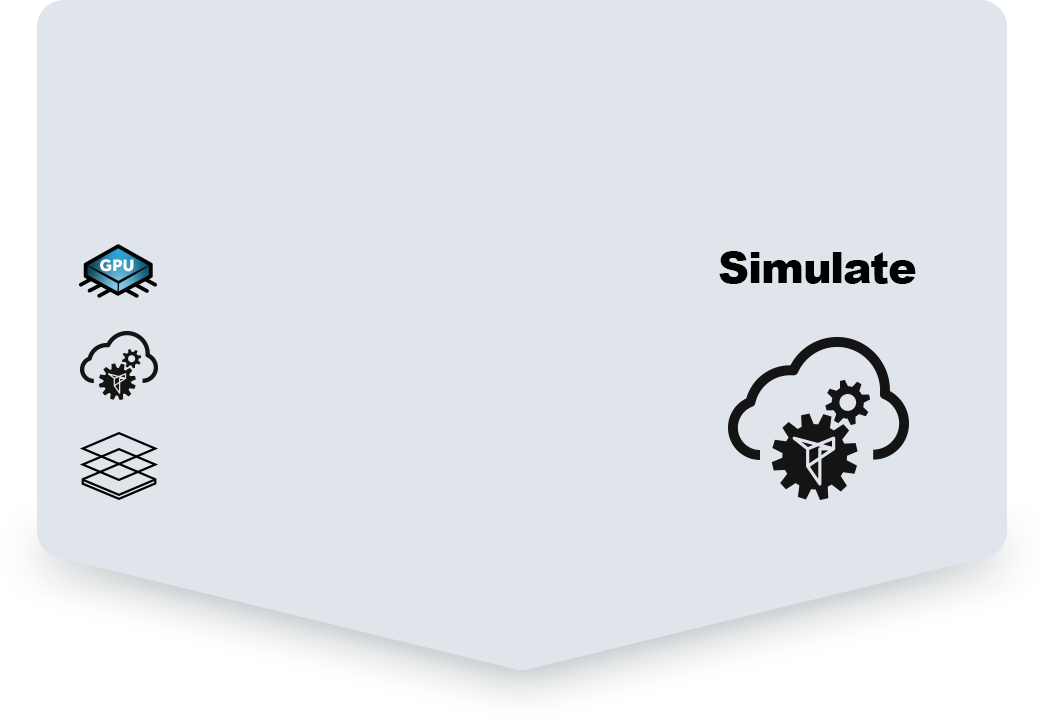


February 4: Webinar the Tygron Water Module; the era of Artificial Intelligence and the open calculator
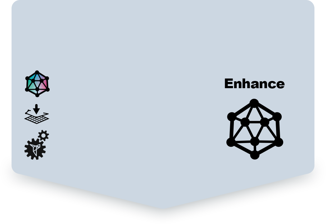
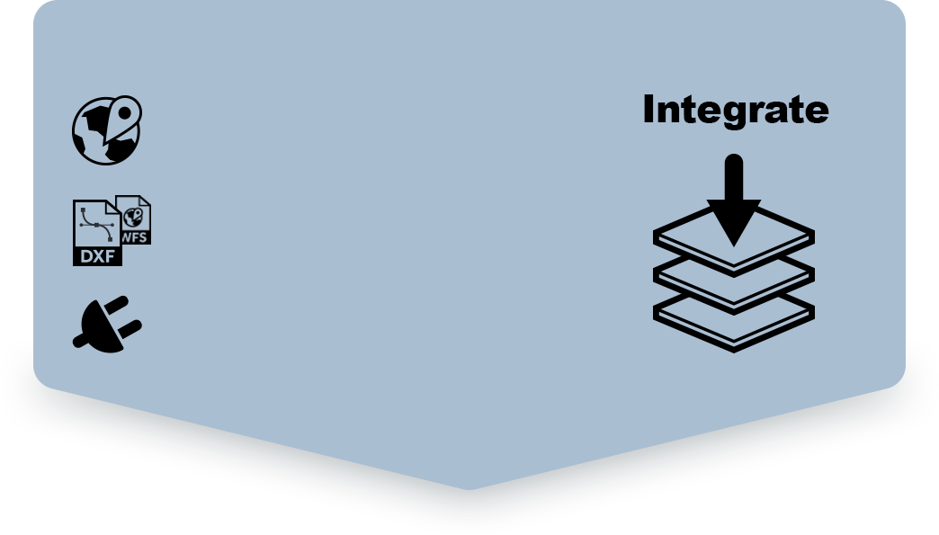
The Tygron Platform is developing as an open calculator, which gives you the possibility to integrate data yourself, enrich data with Artificial Intelligence, and build your own simulations. On February
