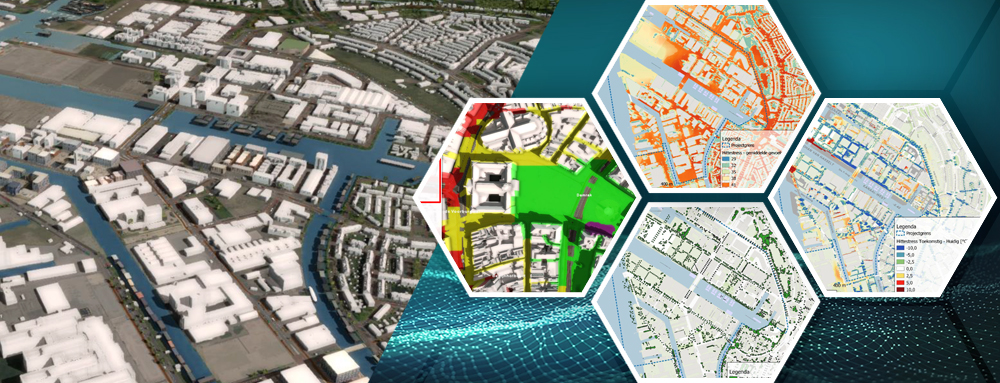
More and more municipalities are facing complex spatial challenges, such as housing construction, climate adaptation, energy transition, mobility, and a healthy living environment. Precisely because these themes are strongly interconnected, there is a growing need for a single digital environment in which data, scenarios, and effects become visible in an integrated manner, enabling policy choices to be better substantiated and made more transparently. Tygron is therefore used by municipalities to integrate geo-data, calculate scenarios, and provide insight into spatial developments in a digital twin.
At the same time, it is perfectly understandable that municipalities have questions before embarking on a new way of working digitally. Anyone starting with a digital twin or data-driven area development first wants to know how data is loaded, how secure that data remains, how complex the management is, and what can ultimately be done with the results. That is precisely why it is valuable to list the most important questions in advance.
Five questions municipalities ask in advance:
1. Can we use our existing data?
For municipalities, virtually everything begins with the question of whether existing geo-data can be reused. Think of basic registers, local datasets, GeoPackages, web services, and raster files already present within the organization.
Tygron aligns with open standards and supports GeoPackage, GeoJSON, DXF, WFS, and various raster sources, among others. As a result, municipalities do not have to start from scratch but can build upon existing data and work processes.
2. How do we get from 2D maps to a usable digital twin?
Many municipalities want to move towards a digital twin but wonder if it isn’t too technical, too expensive, or too labor-intensive. That is a logical concern, especially when 3D still feels like something for specialists.
Tygron makes it possible to build a digital representation of an area based on existing geo-data and elevation data, and to simulate scenarios within it. This ensures that a digital twin does not become a standalone visualization model, but a practical tool for policy and decision-making regarding urban development, the living environment, and climate issues.
3. Can we work in a repeatable and collaborative manner?
Municipalities often work not just on a single project, but on multiple areas simultaneously, often in collaboration with surrounding municipalities, provinces, water boards, or consultancy firms. This quickly raises the question of whether an approach is reusable.
Tygron supports working with templates, allowing projects to be structured as blueprints and reused at another location. This helps to work more consistently, scale up faster, and better organize regional cooperation.
4. Will our data remain secure and will we retain control?
Trust is essential with new digital working methods. Municipalities want clarity on where data is stored, who has access to it, and how responsibilities are arranged.
Tygron emphasizes that users retain control over their projects and that access rights can be configured per project. Additionally, the platform is ISO 27001 certified and the infrastructure runs on server hardware in the Netherlands, which is an important starting point for many municipalities regarding information security and governance.
5. Can we actually use the results in our decision-making?
A digital twin is only valuable if the outcomes are also usable outside the platform. Municipalities want to be able to share, export, and translate analyses into administrative considerations, implementation choices, and communication with partners.
Tygron supports the export of objects, maps, and overlays in common geo- and data files. As a result, results can be further used in GIS environments, dashboards, and policy documents, and the digital twin becomes part of the broader municipal work process.
Why municipalities specifically use Tygron
Municipalities use Tygron not only because it is technically very capable, but primarily because it helps to make complex spatial challenges integrated and understandable. The platform brings data, visualization, and analysis together in a single working environment, so that the effects of plans become visible more quickly and decision-making can be better substantiated.
That is precisely where the added value lies for urban planning and digital twins: not only collecting information, but connecting policy, space, and scenarios into a shared course of action. For municipalities, this means a practical step towards working smarter, more transparently, and more future-proof on the living environment.
Interested in how other municipalities do this? See a few examples here:
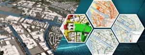
1. Municipality of Amsterdam: this blog explains how heat stress analyses are handled in the capital, and how this relates to policy:
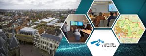
2. Municipality of Deventer: read here how a digital city model is used to support the discussion in the Council:
3. The Municipality of Nieuwegein has worked on a digital model to provide insight into the effect of the growth on the city as a whole: