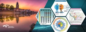
source: Waterschap Vallei en Veluwe, LinkedIn
Over the next ten years, approximately 100,000 homes must be built annually in the Netherlands. More than ten percent of these will be located in the area covered by the Vallei en Veluwe Water Board. However, finding new locations to build is becoming increasingly challenging, especially when considering water and soil. Under the Environment and Planning Act, initiators are required to investigate the impact of spatial plans on the water system: the assessment of water interests.
To strengthen this process, the Vallei en Veluwe Water Board, together with Tygron, has developed a digital twin that helps authorities make better design choices right from the start. Choices that contribute to retaining and keeping area-specific water clean.
The water system as the basis for spatial plans
The use of the digital twin helps the various parties involved to consider together how the water and soil system can guide new construction developments. With the digital twin, we bring together the water system, climate scenarios, and design variants.
The tool:
- provides insight into the hydrological system,
- calculates scenarios such as extreme precipitation or changing groundwater levels,
- shows directly the impact of design choices.
In this way, differences between designs become clear, and choices are better substantiated and transparently documented. A shared basis to make area development future-proof.
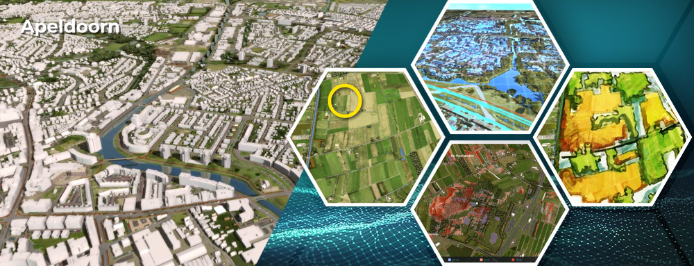
This approach is explained in the following video using an example near Apeldoorn: (Dutch Voice over)