DXF Export/import
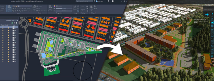
Our DXF exporter allows exporting polygons, colors and categories, including a geo-location. This simplifies your workflow for uploading urban plans in Tygron as follows: Build a new project in Tygron using […]
Python SDK
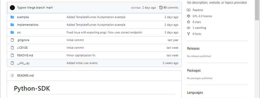
A library with python scripts to automate workflows that communicate with the Tygron Platform. An example: a script that automatically creates a project, performs calculations, saves and exports results and […]
Public Area on Geo Share (Public Share)
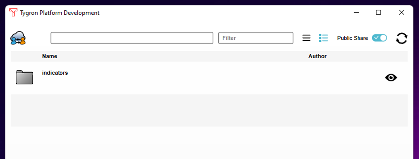
The Public Share, as part of the Geo Share, enables users to share files such as excel indicators with each other outside their respective domains. It is also possible to […]
DXF importer

A DXF importer makes it possible to upload DXF files directly into the Tygron Platform. DWG files can be easily converted to DXF. Therefore, with the DXF importer files such […]
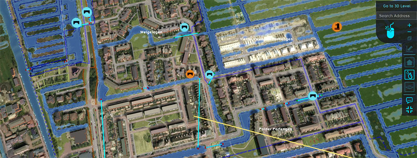
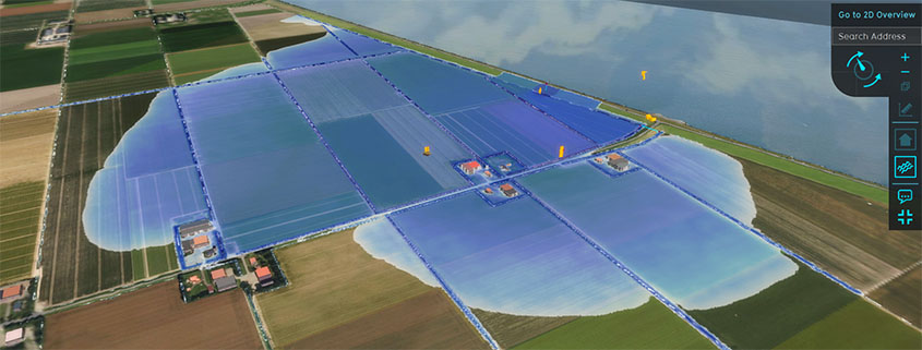
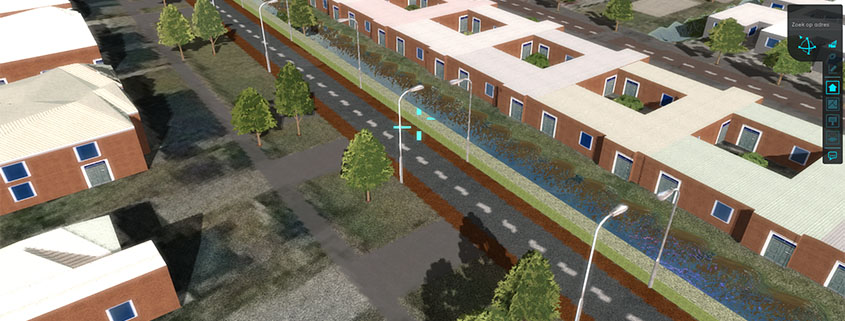
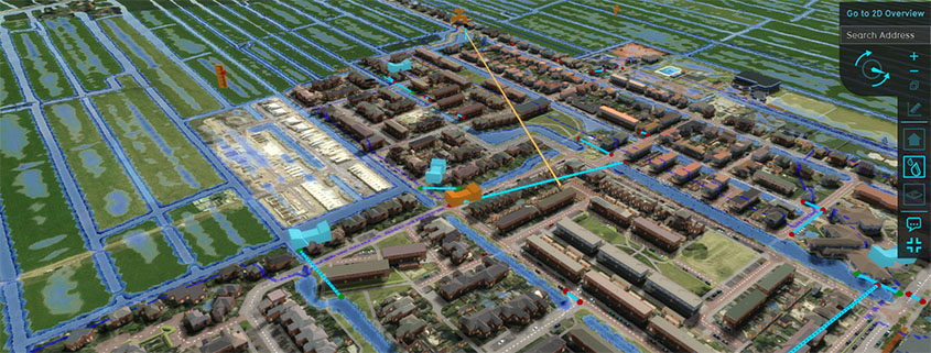
Interface update
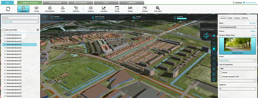
A major overhaul has been made to the interface, which results in better navigation, scalability and speed. Scalable interface The new interface is scalable on different screen resolution and will […]
Improved feedback for multiple (water) object variables.
Objects (Breach, Culvert, Weir, In-/ Outlet, etc) now also support “datum” and “width” measurements when selecting them again. Measurements can be exported more easily, and flow is stored and exported […]
New Breach settings
To improve the Breach Growth a new inner water level measurement area can be defined. The Water wizard splits Breaches into 3 separate steps for more control. See also: [embedyt] […]
New ‘SOLID’ attribute for Buildings
Buildings have a new attribute ‘SOLID’, to ensure that for example hedges do not block water, but enclosing walls do. This can be adjusted as desired. This new SOLID attribute defines whether […]
Maximum Infiltration per Grid Cell
In ‘Infiltration Only’ mode you can now define the maximum infiltration per grid cell. This value can be calculated with a Combo Overlay.
New Dynamic Infiltration Coefficient
The new Infiltration Coefficient makes it possible to adjust the infiltration over time. You can now model a higher infiltration at the start of the rain, when the ground is […]
