Visualisation of geotiff imports 19/01/2021/0 Comments/in Roadmap GIS, Water Released on LTS vs. 2021 /by HansjeRoadmap Visualisation of geotiff imports11 year agotygronReleased on LTS vs. 20210 GISWater
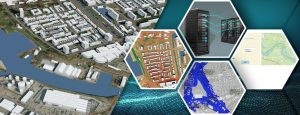
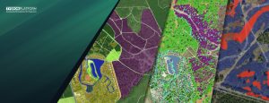
The possibility to visualize imported geotiffs as water. With the purpose to e.g. communicate calculations made with other modeling tools through the Tygron 2D world.
Leave a Reply
Want to join the discussion?Feel free to contribute!