Nitrogen and the PAS (Programmatic Approach to Nitrogen) are prominently in the news. Although the PAS is no longer valid for new plans, nitrogen deposition on Natura 2000 areas must still be assessed. This is particularly important in The Hague, a municipality surrounded by Natura 2000 areas. The municipality of The Hague has requested Tygron to develop a prototype aimed at evaluating plans for nitrogen deposition using the Aerius Calculator, and with an eye on the implementation of the Environment and Planning Act, also connecting with other themes such as mobility and traffic noise.
Implementation of the Environment and Planning Act
The developed prototype was created in close collaboration with the Nitrogen Helpdesk of the municipality, focusing on the helpdesk’s current workflow (and after the implementation of the Environment and Planning Act). The prototype consists of a template project in the Tygron Geodesign Platform. This template is used to create a new project with The Hague’s 3D city model, which is then enriched with other open data. In addition to existing functionality, the Platform has been supplemented with a link to the Aerius Calculator, a dynamic traffic model, and a panel for entering the data required by Aerius.
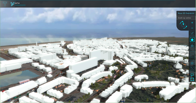
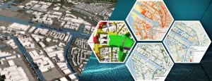
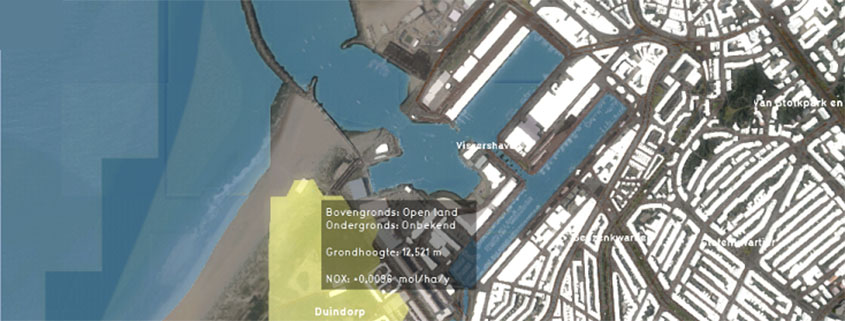
3D City Model of The Hague
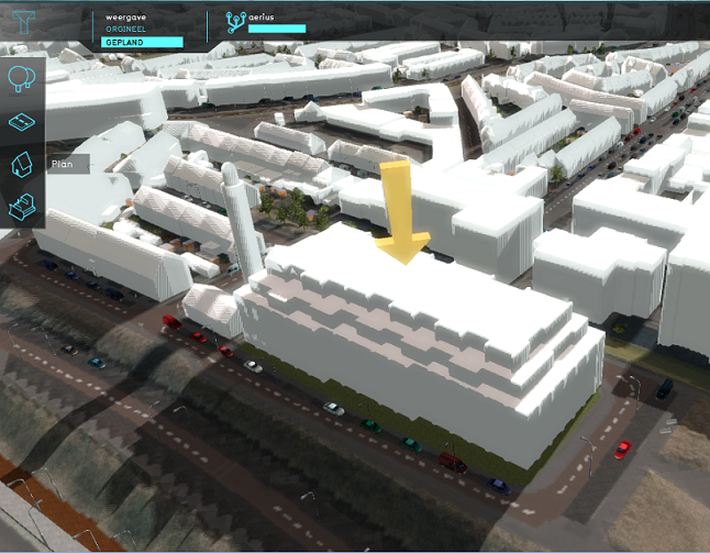
The workflow is as follows: a project inspector draws and builds a plan in the Platform or loads a BIM model. The inspector then fills in the plan’s properties, such as the number of houses or possibly square meters of office space. The heating method can also be specified, after which building-related NOx emissions are automatically calculated. The expected increase in traffic is calculated using the municipality’s traffic model. For the realization phase, the fuel consumption of construction machines and the expected increase in construction traffic are filled in.
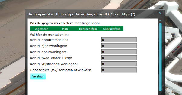
Dialog Box for Entering Plan Properties
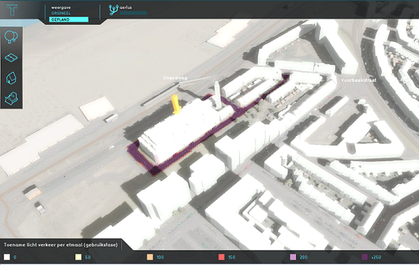
All this data is sent to Aerius, after which the calculated results for the usage and realization phases are visible as map layers in the Platform.
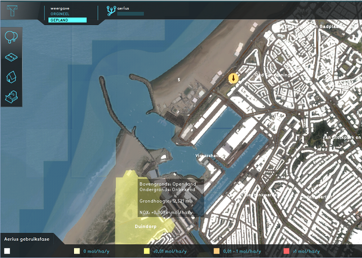
Results of a Sample Scenario Calculated by Aerius and Visible as a Map Layer in the Platform
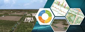
Further Development
The major advantage for The Hague of the developed template is that part of the necessary data for filling in Aerius is automatically calculated. This saves time in searching for the correct metrics and doing the calculations. The addition of the calculation methods and metrics from the mobility department is also very valuable. Especially for complex plans, it is useful to evaluate a plan with the Platform, as it provides more insight into the surrounding environment. For instance, the average traffic intensity on roads can be consulted. This way, a plan can be viewed and assessed from various angles, as is also the idea with the Environment Table.
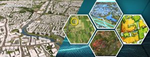
Calculated Traffic Increase Insight
What has been developed is only a prototype and leaves plenty of room for improvement and expansion. A next step could be to enhance user-friendliness, making it easier and clearer to fill in the correct data. Currently, the tool cannot be used without following the accompanying manual. Additionally, the workflow with the BIM model can be further elaborated. What information about the plan can be automatically filled in from the supplied data? Think, for example, of the area or the function of a plan.
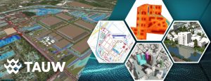
BIM Model in the Platform
The ultimate vision is that an architect can test their design themselves and know if it meets various environmental requirements. While this is not yet the case, it represents a promising goal for the future.