1
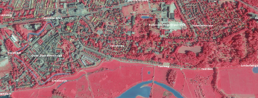
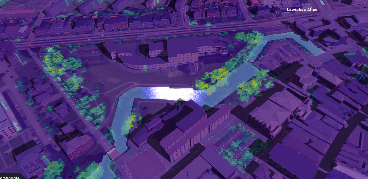
The possibility to search (OGC catalogs) and import WMS- and WCS-services. This is useful to import ‘pictures’ such as infrared and satellite data into the Tygron Platform and use them for analyses.
[embedyt] https://www.youtube.com/watch?v=gUZFI-1z3tQ[/embedyt]
Related documentation:
https://support.tygron.com/wiki/WMS_Overlay
https://support.tygron.com/wiki/How_to_use_a_WMS_to_estimate_foliage_(Heat_Overlay)