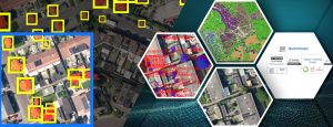
Would it be possible to add the option to insert a map scale and a compass under tools -> screenshot. This way we could directly insert images and gifs into presentations and documents without having to add the map scale and north arrow in for example qgis.
Arcgis online does offer a scale, but when you do that, the legend is lost which is also very important for the images.