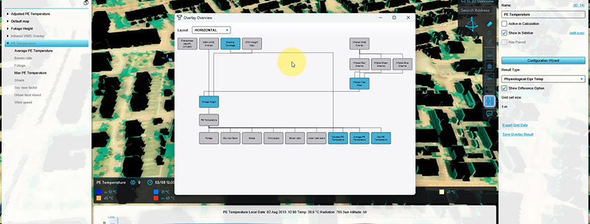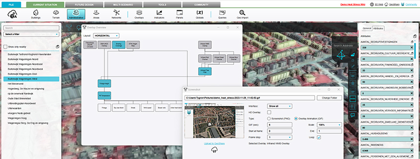
For a vast amount of applications with the TQL I need a TQL queries to get volume, min, max, average etc on buildings. The query functions already exist but they can’t be combined with buildings. This for example can be done with AREAS already. Therefore the current way is to make a copy of these features as areas and then run the queries.

I’ve made recommendations for the expansion of TQL queries in several locations but I see that the idea push is not one of those. Hence the request here aswell

Python SDK

A library with python scripts to automate workflows that communicate with the Tygron Platform.
An example: a script that automatically creates a project, performs calculations, saves and exports results and removes the project.

https://github.com/Tygron/python-tygronsdk

Public Area on Geo Share (Public Share)

The Public Share, as part of the Geo Share, enables users to share files such as excel indicators with each other outside their respective domains. It is also possible to add comments to a shared indicator file.

DXF importer

A DXF importer makes it possible to upload DXF files directly into the Tygron Platform. DWG files can be easily converted to DXF. Therefore, with the DXF importer files such as AutoCAD files can be imported much easier and without loss of information into the Tygron Platform and used for calculations.

More info:

https://support.tygron.com/wiki/How_to_import_a_DXF

https://support.tygron.com/wiki/DXF

Interface update

A major overhaul has been made to the interface, which results in better navigation, scalability and speed.
  • Scalable interface The new interface is scalable on different screen resolution and will be readable on 3k and 4k monitors. Text, icons and relevant fields will scale to the size that it needs without compromising the quality of interaction.
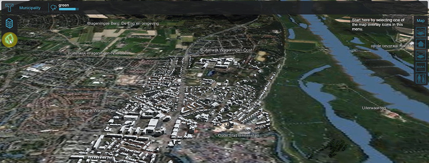
  • Viewport navigation on selection improvements Viewport navigation and mouse control has been redesigned to better reflect other GIS programs so users of those programs will be more familiar with navigating through the Tygron Platform. Selecting and drawing has also improved with the ability to draw on the terrain while orbiting around the area. In this way you will always have a better overview of where you want to draw on the grid. In addition a new “free cam” mode has been implemented allowing the user to orbit the project if so desired.
  • Panels in front of viewport Editor panels are now independent from the main viewport. This means that the viewport is full screen at all times and the panels only appear on context base when needed. This saves a lot of viewport real-estate which makes for a clearer view of your project.
  • New LOD system A new asset LOD system has been implemented freeing up memory when viewing a project from far away. Details of Assets will drastically be reduced when viewing from a distance. Conversely more detail will be possible when viewed from ground level or close by.
  • Performance improvements General improvements in memory and speed have also been made so that larger maps will use less memory than needed.
When starting the Tygron Platfrom a short explanation will be shown about the new mouse interaction.

Improved feedback for multiple (water) object variables.

  • Objects (Breach, Culvert, Weir, In-/ Outlet, etc) now also support “datum” and “width” measurements when selecting them again.
  • Measurements can be exported more easily, and flow is stored and exported in m3/s.
  • Objects outside the limit area are no longer marked as “invalid”.

New Breach settings

To improve the Breach Growth a new inner water level measurement area can be defined. The Water wizard splits Breaches into 3 separate steps for more control. See also: (Dutch only) Documentation: https://support.tygron.com/wiki/Breach_(Water_Overlay)

New ‘SOLID’ attribute for Buildings

Buildings have a new attribute ‘SOLID’, to ensure that for example hedges do not block water, but enclosing walls do. This can be adjusted as desired. This new SOLID attribute defines whether an object is part of the Surface Model elevation map. Documentation: https://support.tygron.com/wiki/Solid_(Water_Overlay)

Maximum Infiltration per Grid Cell

In ‘Infiltration Only’ mode you can now define the maximum infiltration per grid cell. This value can be calculated with a Combo Overlay.

New Dynamic Infiltration Coefficient

The new Infiltration Coefficient makes it possible to adjust the infiltration over time. You can now model a higher infiltration at the start of the rain, when the ground is still dry, and a lower infiltration later, when the ground becomes more saturated. Related documentation: https://support.tygron.com/wiki/How_to_configure_a_dynamic_infiltration_factor_for_a_Water_Overlay https://support.tygron.com/wiki/Infiltration_factor_s_(Water_Overlay)
Privacy Preferences
When you visit our website, it may store information through your browser from specific services, usually in form of cookies. Here you can change your privacy preferences. Please note that blocking some types of cookies may impact your experience on our website and the services we offer.