
- Manage and mitigate risks
- Simulate flood impacts
- Test mitigation approaches
At Tygron, we recognize that as a Hydrologist you need full control of your data and hydrological modelling.
To support his goal, we have developed the Tygron Platform as a crucial tool for Hydrologists, enabling them to seamlessly integrate and manage diverse datasets, model (near) real-time water issues at an extreme resolution, and efficiently simulate flood impacts.


Due to scattered data sources, extended processing times and persistent post-processing challenges, hydrologists struggle to respond promptly during flooding events.
The Tygron Plan
1. Book a Meeting
Align your organization around data and simulations. Explore the possibilities with our assistance.
2. Workshop with Demo
Create a foundational strategy aligned with your organization mission and workflows. We can assist you with a structured workshop.
3. Implementation Plan
Unlock the potential of your data and simulations independently, focusing on scalability, interoperability, management, and maintenance.
Be in full control
With supporting over 100 organizations in 20 countries with 30,000 projects, Tygron assists in integrating your GIS-data into a hydrodynamic model, enabling you to validate and calibrate the dynamic nature of hydrological systems. This allows you to manage and mitigate risks associated with dam breaches, river floods, flash floods, and sea-level rise effectively.
This way, you can seamlessly integrate and manage diverse datasets, model (near) real-time water issues at an extreme resolution, and efficiently simulate flood impacts while testing mitigation approaches to minimize the loss of life, property, and infrastructure damage


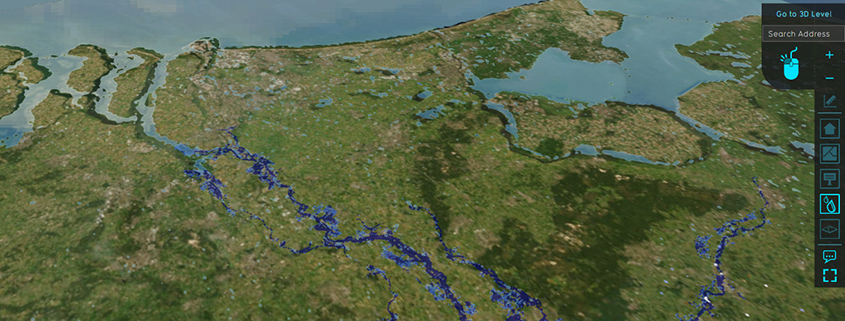
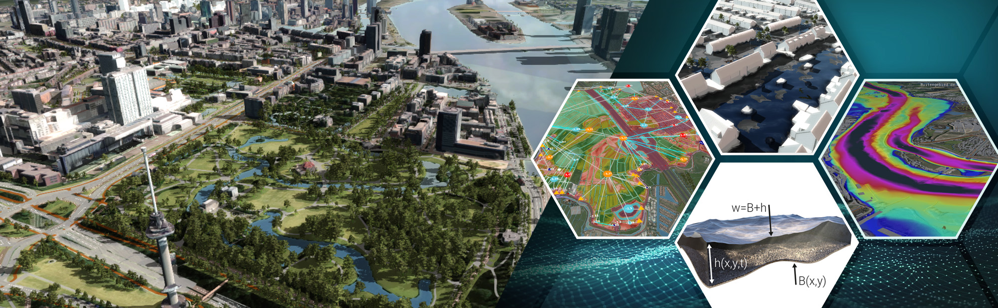
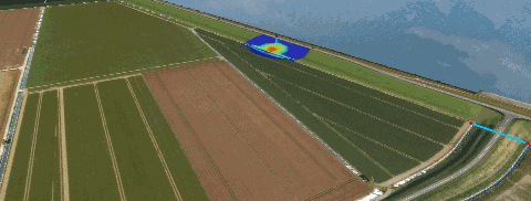
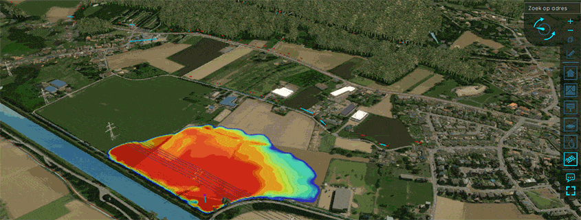
River Deltas at High Resolution
In a previous blog entry we showed that it was possible to calculate a 60x60km map at very high resolution (1m). This is especially useful for small canals and surface