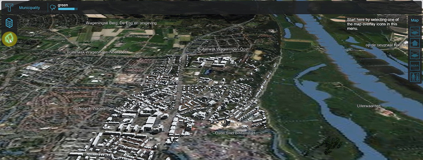
New 3D Webviewer
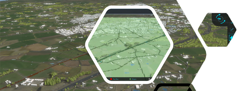
You can now select a 3D web viewer, based on Cesium, directly from the 3d web icon on the top right of the Editor interface or via Tools > Web
You can now select a 3D web viewer, based on Cesium, directly from the 3d web icon on the top right of the Editor interface or via Tools > Web
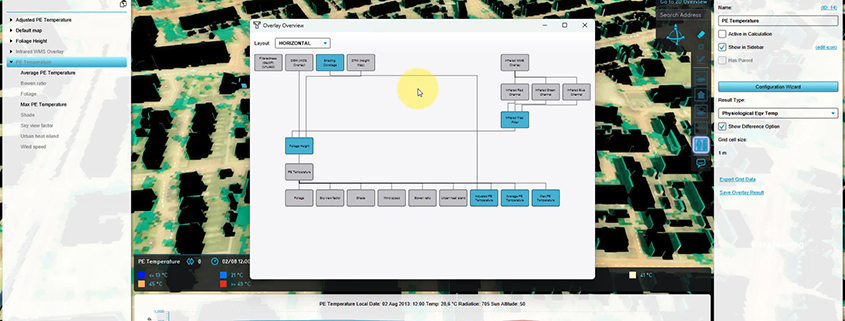
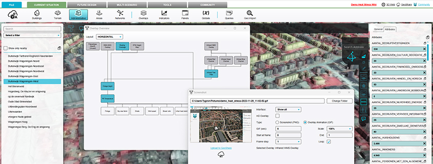
It is now possible to see an Overview of all relations between overlays. Select Current Situation > Overlays > Overview. See also: https://previewsupport.tygron.com/wiki/How_to_use_the_Overlay_Overview https://youtu.be/51RUgWHK-AEhttps://youtu.be/5v-o_ozDytY
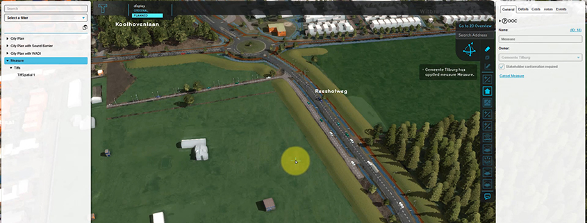
Very useful for e.g. including a new height map in a measure – for calculating the impact of an urban plan on water nuisance. Documentation: https://previewsupport.tygron.com/wiki/How_to_add_a_GeoTIFF_to_a_measure https://youtu.be/BJwq7Gm6qUI
Cyber security and protection of (personal) data are crucial in a digitized and connected world. We continuously work on updating our software security policy. Among others we have improved the
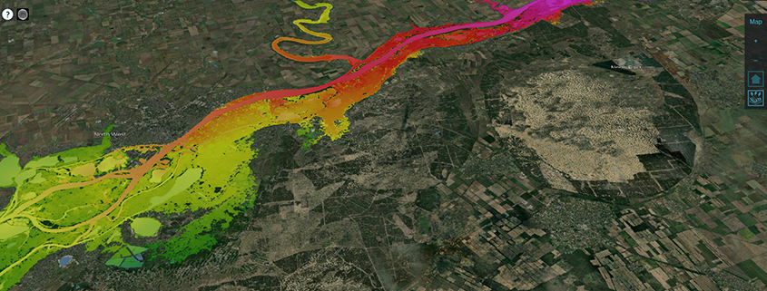
Useful for simulating large breaches such as the Khakhova dam breach. https://www.tygron.com/blog/2023/06/09/khakhova-dam-break-simulation/
TQL Panel: Better navigation for Clause menu’s. Copy-Paste functionality Fly to coordinates and timeframe WMS/WCS Overlays have timeframes, more prequels Better attribute feedback: Blue: edited value Grey: parent value
When creating a project with complex calculations, the calculation time may require a user to use a scheduled update rather than a direct calculation, so that it can be run
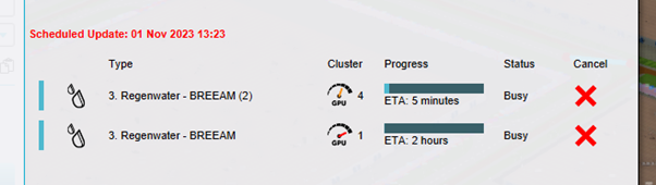
I want to be able to pick my GPU cluster in Tygron. For specific calculations with water models the biggest cluster can take significantly longer then the less extreme cluster.
For improved groundwater calculations. For context and more information see: CoP-sessie-Vallei-en-Veluwe.pdf (tygron.com) Hydraulic conductivity with thickness (Water Overlay) – Tygron Preview Support Wiki Ground bottom distance m (Water Overlay) –
By supporting the new styles=float32, multiple GeoTIFF files can now be set up as a WMS/WCS overlay with multiple layers as timeframes, directly from the Geoshare. See also: https://previewsupport.tygron.com/wiki/Version_2024.3.0