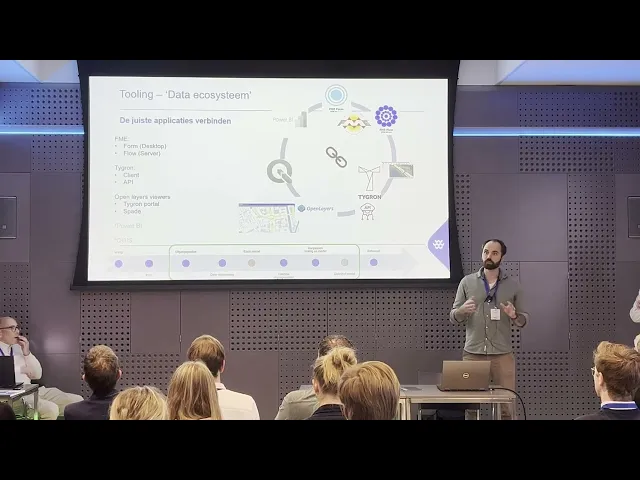
The annual Tygron Community of Practice took place this year on November 11th. This meeting is of and for users: a moment where knowledge, experience, skills, applications, and the latest technological developments come together. During the CoP, various Tygron users spoke about how they apply the Platform, among them the engineers from TAUW.

Climate
Climate adaptation requires smart solutions that are both effective and efficient. Ruben Keizer and Len Geisler from TAUW consulting and engineering firm show how data-driven designs with Tygron can accelerate and improve the process of climate-resilient urban projects.
"Today we are going to take you through climate design questions that we see coming up at TAUW," begins Ruben Keizer. He emphasizes that the challenges in climate-resilient design are often similar and that a standardized approach ensures efficiency. Yet, there is still plenty of room for customization. "Very often still highly project-based, but by now we have also created a completely standardized approach for it." Crucially, both work processes and tooling must be set up in a way that simplifies knowledge sharing between parties and leads to faster results from iterative designs.
Iterative process
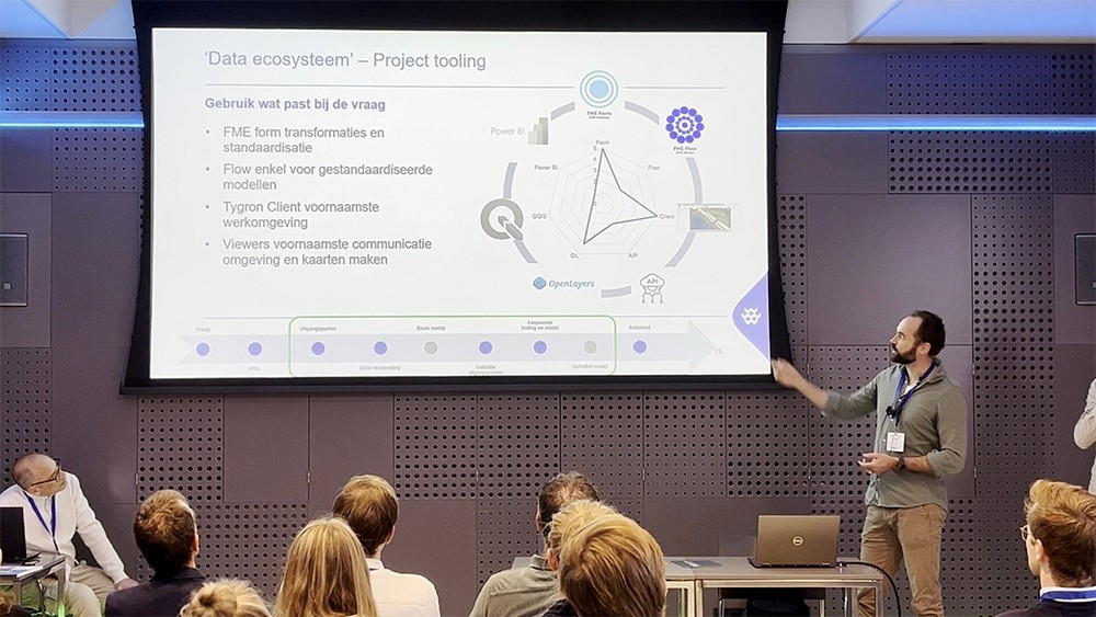
TAUW has set up an entirely web-based network of tools connected via APIs and connectors. "We have actually built an ecosystem of different tools that have their own place in answering complex questions," says Len Geisler. From FME for advanced analyses to the Tygron 3D client and various viewers for interpretation and communication, the entire setup is designed to work flexibly and efficiently. Geisler emphasizes the practical benefit: "It helps tremendously with quality assurance and validation, but also in ensuring that the right models are properly integrated and that results can be shared quickly with clients."
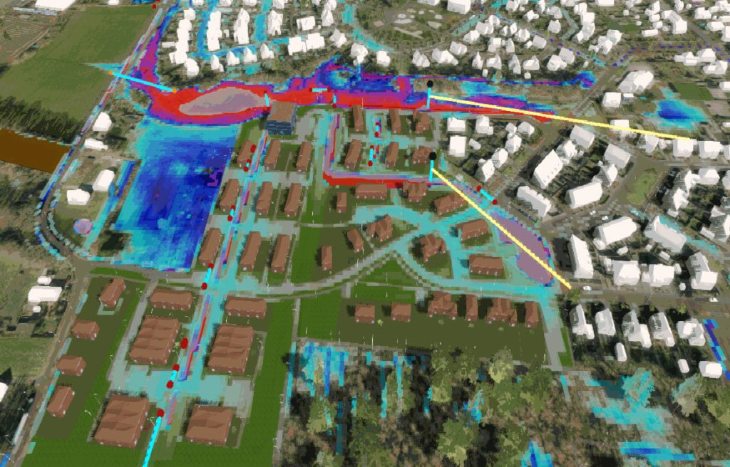
Keizer shows how data from existing infrastructure, such as roads and waterways, is combined with project data from CAD design files (spatial plans, preliminary designs, and final designs). This allows both a 2D and 3D visualization to be created for further analyses. For example, converted elevation data into a new ground surface model for waterlogging analyses, or converted 3D designs for heat stress calculations. Importantly, the process is iterative and supports both policy makers and designers: "We are noticing that there is also more and more attention from the design side, from project managers, to apply this themselves in projects," says Keizer.
Standardization and flexibility
The duo also discussed the different levels of design information provided, ranging from sketches to advanced BIM models via the Autodesk Construction Cloud. "As soon as a designer is finished in their BIM environment and we know it has been updated, we can hit refresh and the new design is immediately in the project area." This makes truly iterative work possible, allowing a design loop to be run ten times relatively easily.
Geisler then went deeper into the analysis tools: "An example is working with FME-server." This makes it possible to quickly and reliably test climate factors such as heat, shadow, and waterlogging in the design using standard models. The combination of standardization and flexibility makes the process scalable, from small redevelopments to larger urban projects.

