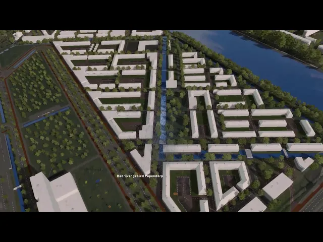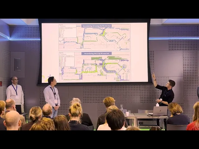
The annual Tygron Community of Practice took place this year on November 11th. This meeting is by and for users: a moment where knowledge, experience, skills, applications, and the latest technological developments come together. During the CoP, various Tygron users shared how they apply the Platform, among them were the engineers from Aveco de Bondt.

Spatial Planning
The session on the use of Tygron by Aveco de Bondt clearly demonstrated how policy and the design of public spaces are creeping closer together. Through interaction, visualization, and above all, collaboration. Hoi-Man Hau, Consultant for Urban Water, and Guy van Hemel and Emiel Oosterhuis, both Advisors for Urban Water at Aveco de Bondt, presented two practical cases in which Tygron acted as a catalyst for conversations that would normally run much less smoothly.
Hoi-Man Hau explained how he was initially skeptical about using Tygron in his field of work. In the beginning, he saw Tygron mainly as 'fancy software': “Nice pictures, nice visualizations, but what can it actually do?” Only when he involved the platform much earlier in the process did it start to click. Where policy can easily get stuck in abstractions, the tool actually sparked dialogue between stakeholders because every intervention can be calculated and visualized immediately.
From policy to practice
The first case was a good example of this. In an existing residential area with no planned sewer renovation, they still wanted to take climate-adaptive steps. By simulating a 90 mm rainstorm, it became immediately visible where water collects and how it moves. Emiel Oosterhuis explained why Tygron was used for this case. “It is the ultimate visualizing tool. We want to sit down with policy makers and show them where the problems are. And how we can solve them.”
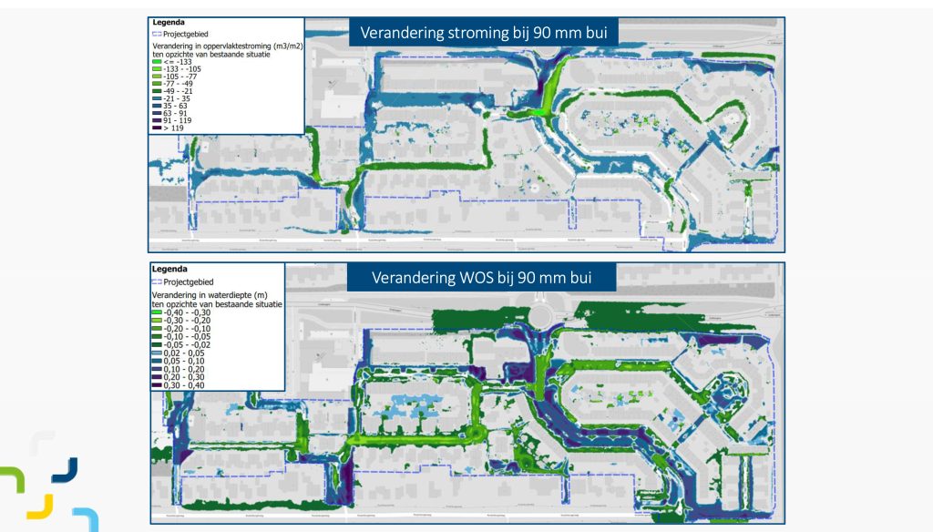
This allowed design choices, such as more greenery, permeable parking spaces, and raised thresholds, to be calculated live. The resulting maps proved more convincing than any written explanation. In addition, unexpected insights came to light, such as routes that proved unsafe for emergency services in extreme rainfall. Because policy makers, designers, managers, and consultants walked through the model together, a shared understanding of the substantive frameworks and technical limitations emerged. “At the end of the process, you could tell they had gained more understanding of one another. And also the drive to look not at the limitations, but rather at the opportunities,” says Oosterhuis.
From practice to policy
The second case took place in a subsiding and water-sensitive neighborhood in the west of the country. Here, tensions between disciplines came sharply to the surface. While water advisors became enthusiastic about interactive simulations, the road manager looked primarily at risks and maintenance certainty. Guy van Hemel gave an example of how far apart the parties sometimes were: “The road manager at the table actually preferred to just asphalt everything. That shows how conservative he was, while others wanted to do something innovative with the space.” By not avoiding that tension, but instead making it visible, a joint direction eventually emerged.
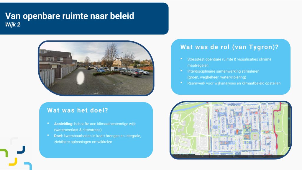
What came out strongly is that Tygron is not necessarily the ultimate solution, but it does accelerate the conversation that leads to better solutions. The tool helps to concretize ambitions, makes choices transparent, and exposes where policy and practice clash. A prerequisite, however, was that everyone had a clear understanding of the level of abstraction at which the model operates, to prevent disappointments or misinterpretations.
Aveco de Bondt's session showed that digital simulation is not just a technical tool, but also a way to work more integrated and smarter. And perhaps even more importantly, to get policy makers and implementers talking to each other instead of past each other.
See also how Aveco de Bondt, together with the Hoogheemraadschap De Stichtse Rijnlanden (HDSR) and the municipality of Utrecht, calculates and visualizes the future developments of the Groenewoud project area, focusing both on the functioning of the water system during extreme rainfall and on the expected heat stress.