

De HAS Green Academy en Tygron sluiten partnerschap om praktijkgericht onderwijs te bieden over Digital Twins
De HAS Green Academy en Tygron hebben een partnerschap gesloten om onderwijs te bieden over digital twins, specifiek gericht op de leefomgeving. Deze digitale replica’s worden steeds belangrijker in ruimtelijke
Digital Twin Deventer by TAUW
Several partners involved with ‘De Kien’ in Deventer are working on digital twin applications. ‘De Kien’ is the name of an innovative campus and development hub, but also a network of partners
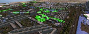
Modelling the flying routes of bats in a Digital Twin
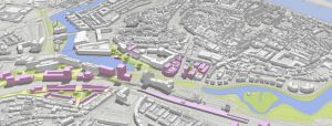
The City of Rotterdam faces a huge challenge. Many new homes need to be built. The city must remain accessible, with opportunities for business. But there is also a strong
Ecosysteem Digital Twin: Een customer journey voor Provincie Utrecht
Student Nick Wolfert van de Hogeschool Utrecht heeft voor de provincie Utrecht onderzoek gedaan naar de vertaalslag van digitale methoden en technieken naar het maken van betrouwbare en uitlegbare besluiten.
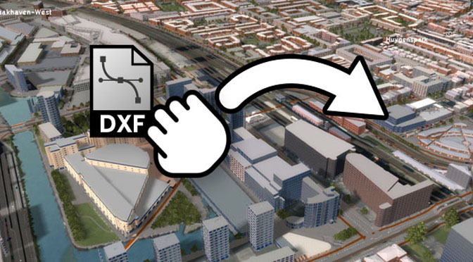
Inladen van 3D modellen in het Tygron Platform
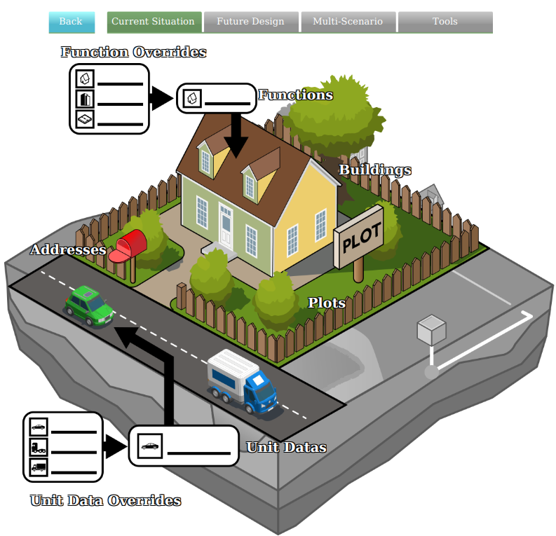
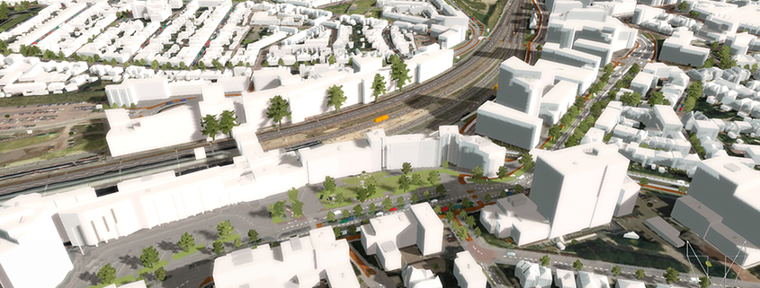
Het Tygron Platform genereert door het combineren van open data automatisch een 3D wereld. De gebouwen in de 3D wereld hebben LoD (Level of Detail) 2. Lees hier meer over hoe
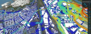
Hyper-resolution Flooding of the Bommelerwaard
Last year Tygron breached the 1 billion grid cells threshold. Today we are using this Massively parallel GPU technology (100.000 execution tasks in parallel) for more use-cases and refining it
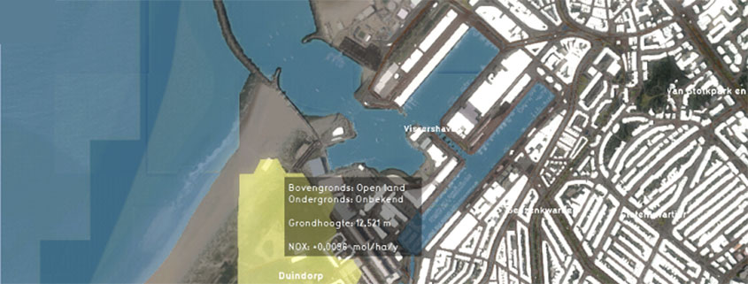
Stikstofdepositie in kaart in het Tygron Platform
Stikstof en daarmee de PAS (Programma Aanpak Stikstof) is volop in het nieuws. Ondanks dat de PAS niet meer geldig is voor nieuwe plannen, dient er nog steeds getoetst te
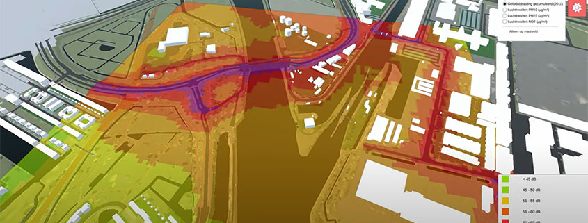
Klimaat adaptief ontwerpen van het Stationsgebied van Amersfoort; Hoe een Digital Twin kan helpen.
Het wordt steeds warmer en droger. Buien worden korter en heftiger. Het is voor de gemeente Amersfoort reden om goed te kijken naar het ontwerp van het stationsgebied. Het stationsgebied
De Virtual River Game maakt complexe modellen inzichtelijk voor alle stakeholders
Onderzoeker Robert-Jan den Haan van Universiteit Twente ontwikkelde de Virtual River Game, een fysiek spelbord om modellen en het Tygron Geodesign platform aan te sturen.