Webinar "Accelerated Simulations for Engineers." | June 13 2024 3.00 - 4.00 pm (CET)

Import terrains as measures

7
4 years ago
Tygron
For evaluation on longer term0

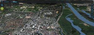
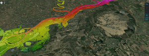
When importing a spatial plan in the Geo Data Wizard, often terrains (water) are part of the plan. It would be convenient to import the whole plan (buildings and terrains) as a measure at once, while following the wizard.

Related posts

Weekly Tutorial

Privacy Preferences
When you visit our website, it may store information through your browser from specific services, usually in form of cookies. Here you can change your privacy preferences. Please note that blocking some types of cookies may impact your experience on our website and the services we offer.